Met Office issues Derbyshire weather warning for flooding as heatwave breaks with thunderstorms
and live on Freeview channel 276
The alert will be in force on Tuesday, August 16, as thunderstorms are set to hit Derbyshire.
The warning follows an amber warning for 'extreme heat' which was in place between Thursday and Sunday last week as the temperatures hit 31 degrees.
Forecasters say thunderstorms with torrential rainfall could cause significant disruption.

They warn that while some spots will still miss the storms and remain dry, where lingering downpours do occur 20-30 mm of rain is possible within an hour.
Some places could see up to 50 mm in less than three hours.
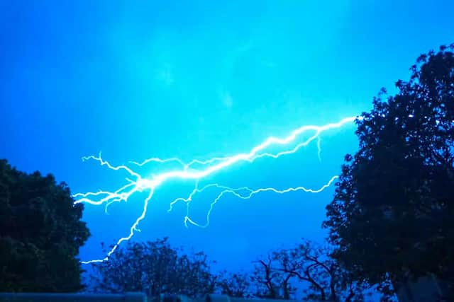
Hailstones and frequent lightning are additional hazards expected.

Forecasters also warn that ‘fast flowing or deep floodwater’ is likely to cause difficult driving conditions, some road closures and even a danger to life.
Delays and some cancellations to train and bus services are possible where flooding or lightning strikes occur.
The Met Office warns that some communities might become cut off by flood water.
Additionally, power cuts might occur and other services to some homes and businesses could be lost.
Where the rainfall will be particularly intensive, some homes and businesses will be at risk of flooding, with damage to buildings from floodwater, lightning strikes, hail or strong winds.
People are advised to seek shelter if possible before the thunderstorms.