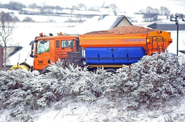
Snow and ice warnings issued for Derbyshire

and live on Freeview channel 276
The first yellow warning for snow is valid in the county between 10am and 4pm on Thursday.
A Met Office spokesperson said: “A band of rain will move eastwards across the UK during Thursday, with this likely to fall as snow for a time, particularly over hills.
Advertisement
Hide AdAdvertisement
Hide Ad“Many places will see one to two hours of snow with a risk of temporary slushy accumulations above 100 to 150 metres with snow leading to difficult travel conditions.

“A longer period of snow is expected over higher ground with two to five centimetres likely above 200 to 300 metres, and 10 to 15 centimetres above 400 metres.
“Over higher routes, strong winds will lead to drifting and temporary blizzard conditions.”
The second yellow warning for snow and ice starts at 8pm on Thursday and finishes at 11am on Friday.
Advertisement
Hide AdAdvertisement
Hide AdThe Met Office spokesperson added: “Frequent wintry showers arriving from the west during Thursday evening and overnight are likely to lead to a fresh covering of snow for areas above 200 metres (mainly around two to five centimetres, possibly as much as 10 centimetres over highest ground where showers are most frequent).
“Falling snow below this level may cause some temporary slushy accumulations which then may freeze and cause dangerous, icy patches where skies remain clear for long enough.
“Winds will be gusty around heavier showers and there is also a risk of lightning strikes from isolated thunderstorms in some coastal districts.”