

Latest data from the seven days to December 31 provided by Public Health England, shows the 19 neighbourhoods in and around Chesterfield where virus infections are going up.
Cases increased by 170% in one area of the town, according to the most recent government figures.
The House of Commons has been recalled today for MPs to vote on the Prime Minister’s proposed third lockdown in England as coronavirus cases continue to spiral.
Find out where the areas with rising infections are located across Chesterfield below.
Images are used for illustrative purposes only and are not linked to data in the article.
In these confusing and worrying times, local journalism is more vital than ever. Thanks to everyone who helps us ask the questions that matter by taking out a subscription or buying a paper. We stand together. Nancy Fielder, editor.
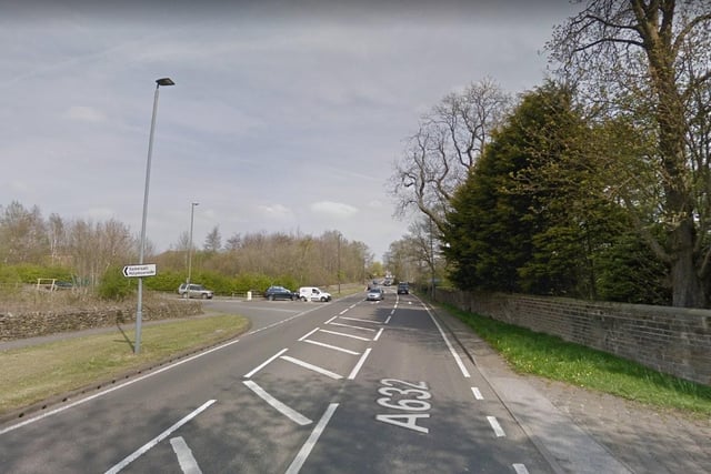
1. Brookside and Walton
Covid-19 cases rose by 170% in the Brookside and Walton area in the seven days to December 31. There were 27 new infections in this period, up by 11 from the previous week. Photo: Google
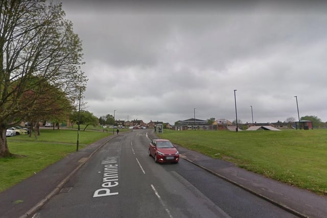
2. Loundsley Green and Holme Hall
In the week ending December 31, Loundsley Green and Holme Hall had 18 new cases - a rise of 11 from the previous seven days. Infections increased by 157.1% in the area. Photo: Google
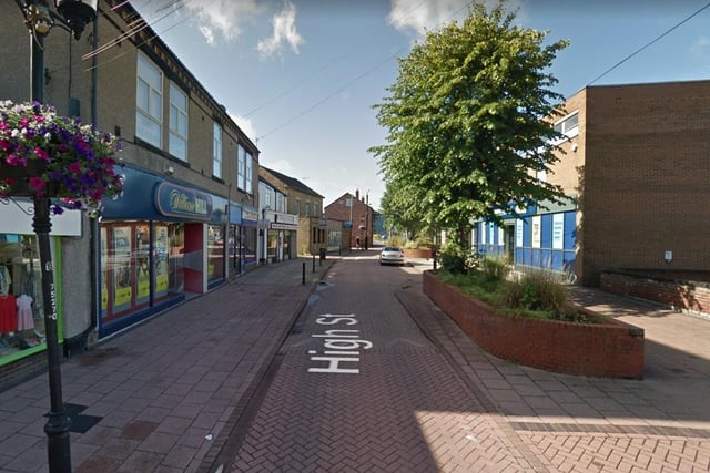
3. Staveley and Norbriggs
There were 22 new cases in the Staveley and Norbriggs area in the seven days to December 31 - up by 12 from the previous week. Infections increased by 120% in the neighbourhood. Photo: Google
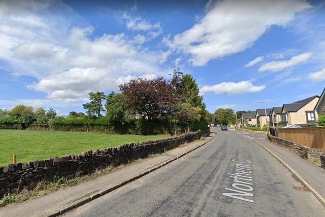
4. Dronfield Woodhouse and Holmesfield
In the week ending December 31, coronavirus cases increased by 118.2% in the Dronfield Woodhouse and Holmesfield area. There were 24 new infections - up by 13 from the last recorded period. Photo: Google