Your frosty weather forecast on a cold Thursday
and live on Freeview channel 276
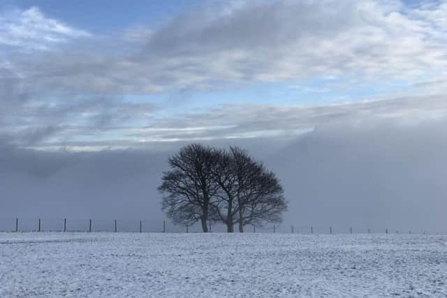
However, mist and freezing fog will be slow to clear and snow could be possible moving into the evening.
A yellow weather warning for snow and ice still remains in place across most parts of the country, and drivers have been warned about road conditions and leaving extra time to defrost their cars.
Advertisement
Hide AdAdvertisement
Hide AdThe Met Office Forecast said: “A cold day across the region with a widespread frost to start. Some bright or sunny spells likely, but mist and freezing fog patches will be slow to clear. Maximum temperature three degrees.

“Increasingly cloudy overnight, with scattered wintry showers or perhaps some more persistent sleet or snow developing as a northeasterly breeze picks up.
“A widespread frost away from the coast. Minimum temperature minus two degrees.
“Rather cloudy with further wintry showers across the region on Friday. Feeling cold in the strengthening northeast breeze. Maximum temperature four degrees.
“Saturday cold, with further wintry showers in the east. Increasingly cloudy Sunday after widespread overnight frost, with rain or snow likely in the evening, but this should clear on Monday.”