Met Office issues yellow weather warning for thunderstorms in Derbyshire
and live on Freeview channel 276
Temperatures are expected to reach highs of 28°C across parts of the county on Tuesday and Wednesday, but the forecasting service is warning of “heavy showers and thunderstorms" by the end of the week.
It has issued a yellow weather warning for Thursday between 11am and 8pm, with the adverse weather expected to bring winds of up to 20mph.
Advertisement
Hide AdAdvertisement
Hide AdThe Met Office says the thunderstorms have the potential to bring surface water flooding in a few places, and disruption to travel.
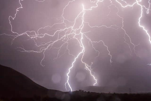

The latest forecast reads: “Rather cloudy with sunny spells and showers, these widespread, occasionally heavy and locally thundery on Thursday and Friday.
"A marked improvment on Saturday, with drier, brighter conditions. Less warm.”
The yellow notice covers much of England, from as far down as Cardiff and up to Newcastle.
Advertisement
Hide AdAdvertisement
Hide Ad"There is a small chance that homes and businesses could be flooded quickly, with damage to some buildings from floodwater, lightning strikes, hail or strong winds”, the Met Office has warned.
“There is a small chance of fast flowing or deep floodwater causing danger to life.
“Where flooding or lightning strikes occur, there is a chance of delays and some cancellations to train and bus services.
“Spray and sudden flooding could lead to difficult driving conditions and some road closures.
Advertisement
Hide AdAdvertisement
Hide Ad“There is a small chance that some communities become cut off by flooded roads.
“There is a slight chance that power cuts could occur and other services to some homes and businesses could be lost.”