Hour-by-hour forecast for Chesterfield: How long will the snow last?
and live on Freeview channel 276
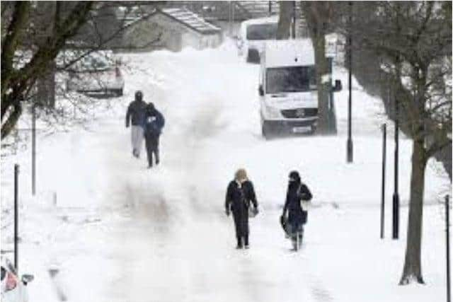
The Met Office said a yellow weather warning for snow is in place for the town and is valid until Wednesday (February 10), while some other parts in the UK will face significant snow accumulations with amber warnings in place.
This happens when cold air emanating from Russia and Eastern Europe will move across the UK over the coming days, bringing significant snow accumulations to parts of Eastern England and Scotland.
Advertisement
Hide AdAdvertisement
Hide AdRain will then increasingly turn to snow beginning Sunday as the cold air spills across the whole of the UK.

Met Office Chief Meteorologist, Paul Gundersen, said: “The UK is in for a notably cold and snowy period over the next week, with very cold air in place over the whole of the UK by Sunday.
“Showers will see snow accumulating across eastern areas.”
The Met Office also said the weather warning has been extended to the end of Wednesday, with ice dropped in favour of snow being the primary hazard.
This means, frequent snow showers may lead to travel disruption places but some places are likely to miss the showers altogether.
Advertisement
Hide AdAdvertisement
Hide AdThe Met Office also warned that there will be strong easterly winds during this period which may lead to blizzard conditions and blowing and drifting of lying snow at times.
According to the forecasters, Chesterfield will have a very cold start to the day as further wintry showers will give snow accumulations to all levels.
Meanwhile, daytime temperatures will be near freezing, then a hard frost overnight with icy conditions as maximum temperature reaches 2°C.
Here's an hour-by-hour forecast for Chesterfield on Monday.
8am - Heavy snow
9am - Heavy snow
10am - Heavy snow
11am - Light snow
12pm - Heavy snow
1pm - Heavy snow
2pm - Heavy snow
3pm - Heavy snow
4pm - Light snow
5pm - Light snow
6pm - Heavy snow
7pm - Light snow
8pm - Light snow
9pm - Light snow
10pm - Light snow
11pm - Light snow