The figures - including April, May and June - were taken from Derbyshire Police’s most up-to-date records in its crime map for Chesterfield.
Locations are given by policing area and the neighbourhoods within them.
![Eighteen reports.
Policing area covers Newbold, Wittington Moor and Sheepbridge](https://www.thestar.co.uk/webimg/b25lY21zOjU5YjlmYzcxLTkwYmQtNDhiOS05ZjBhLWE2NjVmMzAyYTY5ODplZDRhYjUxMi00YTRlLTQ0ZWMtODhjNy0zNzJmYmNlZDdiYTM=.png?crop=3:2&width=800)
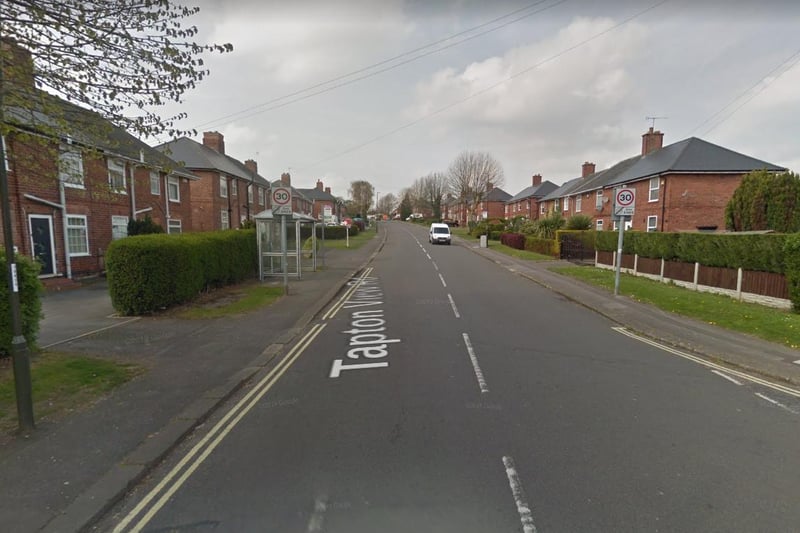
1. Dunston, Moor and St Helen's
Eighteen reports. Policing area covers Newbold, Wittington Moor and Sheepbridge Photo: Google
![Twelve reports.
Policing covers Brampton and parts of Boythorpe and Birdholme](https://www.thestar.co.uk/webimg/b25lY21zOjg2YTA4MDEyLTExYTItNDc3ZC04ODk4LTMxMTI3NjljMzNiMTowODJiYzA4Yi0xZmY4LTQ3YmEtOGIxYy0xODdlYjE5MWUwMTg=.png?crop=3:2&width=800)
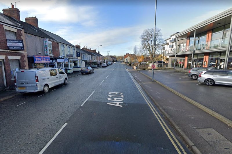
2. Holmebrook and Rother
Twelve reports. Policing covers Brampton and parts of Boythorpe and Birdholme Photo: Google
![Ten reports.
Policing area also covers Spital and parts of Calow, Birdholme and Boythorpe](https://www.thestar.co.uk/webimg/b25lY21zOmIwNmVmZTczLWIyYzctNDA4NC04NmFmLTRjMDlhZjI3M2VlYzpjMTE0NzM5OS1hZDNlLTQ4OGQtOWVhZC03NzFhMzMyOTgxOGM=.png?crop=3:2&width=800)
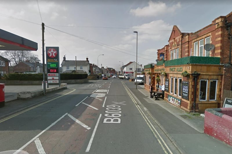
3. Hasland and St Leonard's
Ten reports. Policing area also covers Spital and parts of Calow, Birdholme and Boythorpe Photo: Google
![Ten reports.
Policing area area covers New Whittington, Old Whittington and Barrow Hill](https://www.thestar.co.uk/webimg/b25lY21zOjA4ODFlYzk2LTkyM2MtNGRhYS04ZWQzLWYyMDdlMzZhNThkMDpmYzNhMTBlNC04NTg1LTQ5NTEtOWQ0Ny01ZmMwZmJmOTkzYzc=.png?crop=3:2&width=800)
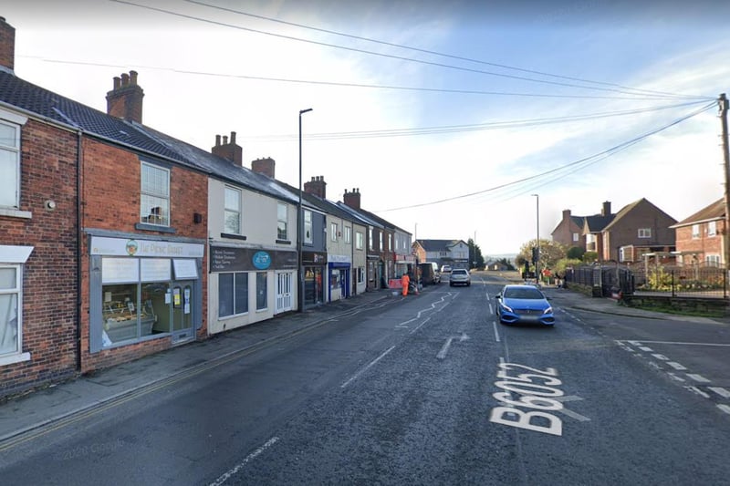
4. Whittington and Barrow Hill
Ten reports. Policing area area covers New Whittington, Old Whittington and Barrow Hill Photo: Google